
Importing files
The file formats Mapji reads, how each map type uses an import, and how coordinates and geometry are interpreted.
On this page
Most maps start from a file. This page covers the formats Mapji reads, where each map type imports from, and how coordinates and shapes are interpreted.
Supported formats
| Format | Files |
|---|---|
| GeoJSON and TopoJSON | .geojson, .json, .topojson |
| Shapefile | A .zip containing the .shp, .shx, .dbf and .prj files |
| Google Earth | .kml, .kmz |
| GPS tracks | .gpx |
| Spreadsheets | .csv, .xlsx, .xls, with latitude and longitude columns |
A file can be up to 25 MB, and a map can hold up to 10,000 features in total — the limit applies to everything on the map after the import, not only to the file. Coordinates must be latitude and longitude (WGS84). A Shapefile in another projection is converted using its .prj file; other formats are read as latitude and longitude, so convert a projected GeoJSON before importing.
Put all of a Shapefile's files — .shp, .shx, .dbf and .prj — into one zip. A zip without a .shp file is rejected.
Where to import
| Map type | Import from | Replace or add |
|---|---|---|
| Cluster, Heatmap, Store Locator, Time Slider | Import in the toolbar | You choose, when the map already has data |
| Choropleth | Import in the toolbar, for values (CSV or Excel); Upload your own boundaries in Settings, for shapes | Values are merged onto the regions; boundaries are added |
| Draw | Import in the Draw toolbar | Always added to the drawing |
| Story Map | Import chapters (Import stops in a Travel Journal) in the toolbar | Always added after the existing chapters |
| Isochrone | Import from file under Settings → Analysis | Added, up to five starting points |
| Compare | Import side data in each side's tab, then Replace | Replaces that side |
| Crowdsourced Map | No import: the data comes from visitors | — |
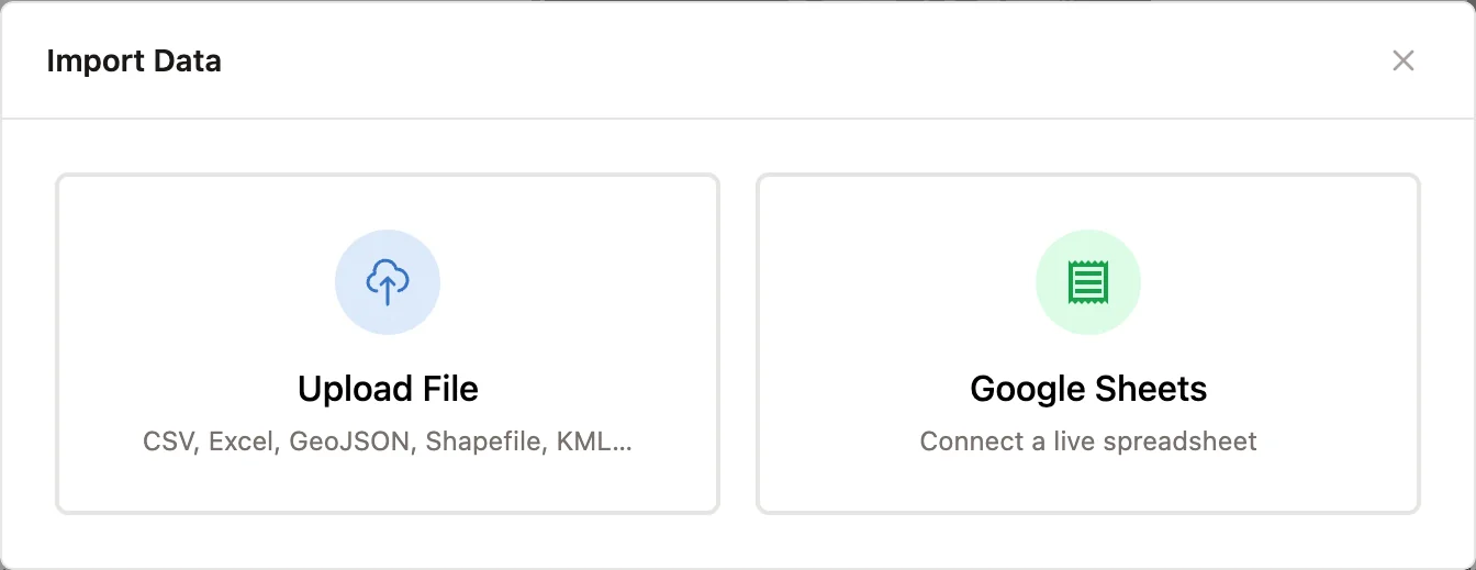
For Cluster, Heatmap, Store Locator and Time Slider maps with data already, the import asks what to do: Replace N existing features (selected by default) or Add to N existing features. Your appearance settings are kept either way.
When an import is saved
Imports into Cluster, Heatmap, Store Locator, Time Slider, Choropleth and Compare maps are written as soon as they finish. Imports into Draw maps, Story Maps and Isochrone maps are added to what you are editing, so you can review them on the map, and are written when you save. See Saving changes.
Spreadsheets
Spreadsheets are read in your browser. Mapji looks for the coordinate columns by their names (such as lat, latitude, lng, lon or longitude), and checks that the first rows hold valid coordinates. If it can't tell, it asks you:
| Field | Required |
|---|---|
| Latitude Column | Yes |
| Longitude Column | Yes |
| Title Column, Description Column, Color Column | No |
The dialog previews the first five rows. Every column in the file is kept on the imported points, so it can be used in popups, filters and styling. In an Excel workbook, only the first sheet is read.
Coordinates must be decimal degrees with a decimal point, such as 38.7223. Other notations are not converted: a decimal comma (38,7223) or degrees and minutes (38°43'N) can get a row skipped or, worse, placed in the wrong spot. Rows with missing or out-of-range coordinates are skipped without a warning. Check the map after importing, and fix the column in your spreadsheet if points are missing or misplaced.
Mapji does not geocode: a column of street addresses is not turned into points. Add latitude and longitude with a geocoding tool before you import.
How shapes are handled
Store Locators, Story Maps and Isochrone maps need points, so lines and areas in a file are placed at their center. Other map types store the shapes as they are, and draw them as their type allows: Cluster and Heatmap maps show lines and areas as a point at their center, a Choropleth map shades only areas, and a Compare side shown as a heatmap uses only its points.
Features with no geometry, or whose coordinates are all outside the valid range — typically a projected file without its projection information — are left out. If nothing usable remains, the import fails with a message saying so.
Re-importing
Importing again into a map keeps its appearance: heat gradient, cluster colors, store locator layout. Settings that name a column are checked against the new file:
- a Heatmap's Weight by column is cleared if the new file doesn't have it
- a Time Slider's settings are reset if the new file has no column with the chosen time column's name
- Store Locator settings are kept as they are