
Map styles
Choose a built-in basemap, or design your own map style with custom colors, roads, labels and fill patterns.
The map style is the basemap your data sits on: its colors, roads, labels and land. Pick one of the built-in styles, or design your own and use it on any of your maps.
Built-in styles
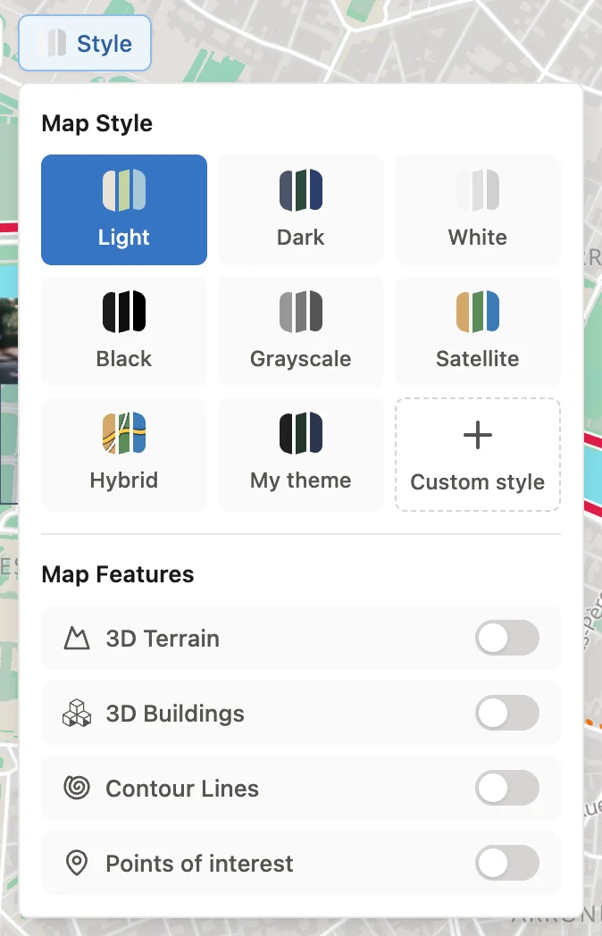
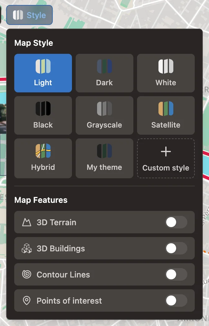
Choose a style from Style on the map. The change previews straight away and is saved with the editor's Save.
| Style | Looks like |
|---|---|
| Light | A soft, light street map. The default for new maps. |
| Dark | The same map in dark colors |
| White | A near-white map that keeps the focus on your data |
| Black | A near-black map. The default for new Region (Choropleth) maps. |
| Grayscale | A neutral gray street map |
| Satellite | Satellite imagery without labels |
| Hybrid | Satellite imagery with roads and place names |
The street maps are drawn from OpenStreetMap data; the imagery comes from Esri. Credits for the basemap, and for any background layers, sit behind the ⓘ button in the map's corner, and can't be removed.
Under the built-in styles the panel lists the custom styles you have saved. Select one to use it on this map.
Custom map styles
A custom style starts from one of the street styles and lets you change almost every part of it. Custom styles belong to your account, not to one map: you can keep up to 5, and each appears in the Style panel of all your maps.
Because a map uses the style itself, editing a custom style changes every map that uses it, the next time they load. Deleting a style switches those maps back to Light.
Create a style
Open Map Styles
Select Custom style in the Style panel. This leaves the editor for the Map Styles page, so save your map first.
Start a new style
Select New style, give it a name and choose its base: Light, Dark, White, Black or Grayscale. The base is what every color you don't change falls back to, and can't be changed after the style is created.
Adjust it
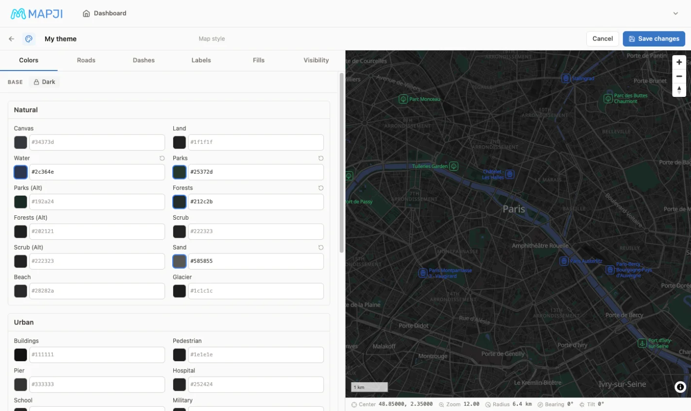
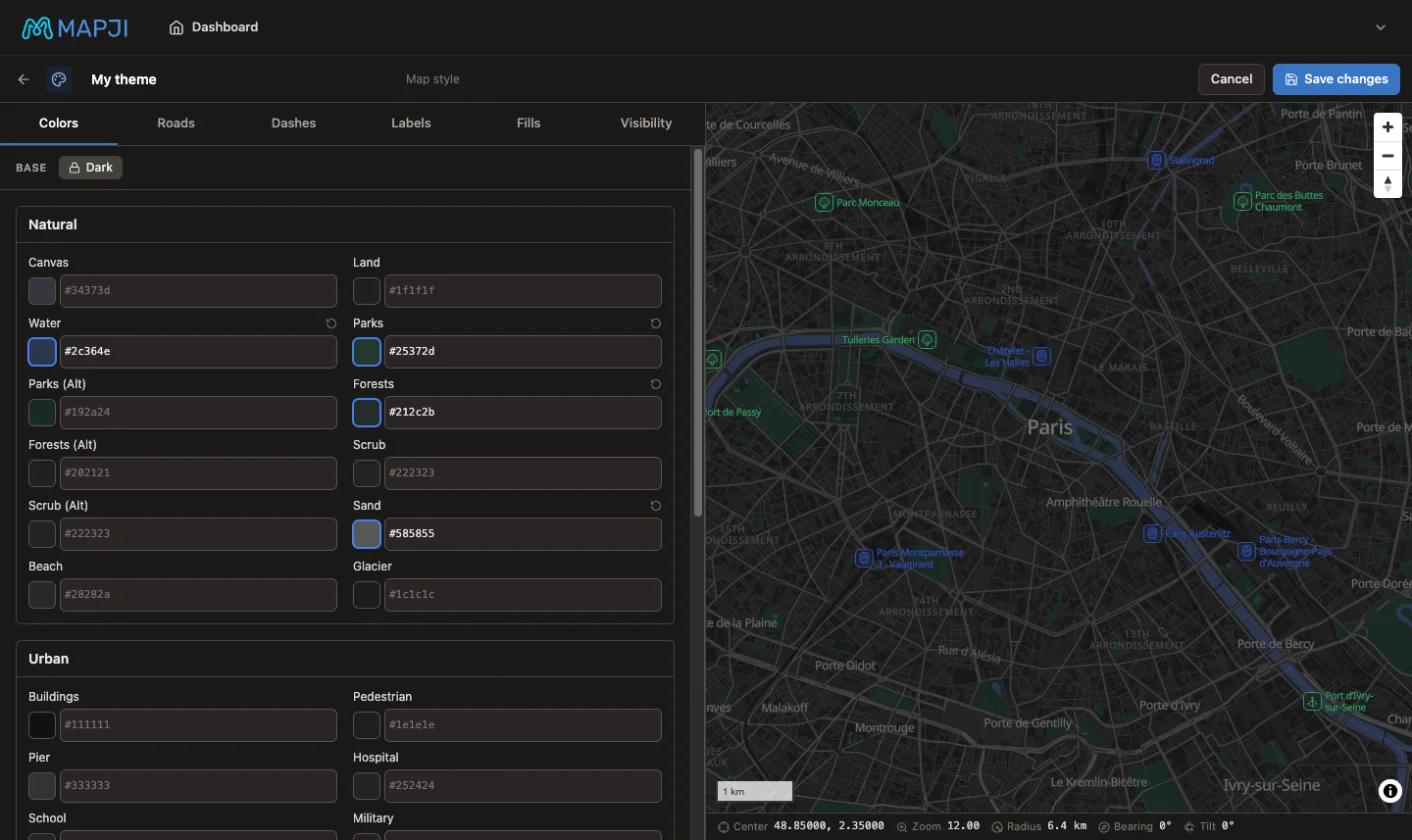
Work through the tabs described below. The map beside the controls previews every change.
Save the style
Select Create style (Save changes when you edit it later). The Map Styles page has its own save, separate from the map editor's.
What you can change
| Tab | What it changes |
|---|---|
| Colors | Colors in eight groups — Natural, Urban, Roads, Casings, Bridges & Tunnels, Boundaries, Labels and Label Halos — plus colors for points of interest by family and for landcover |
| Roads | Line ends and corners for every line, road casings (outlines), and the width, opacity and glow of highways, major roads, minor roads, boundaries and railways |
| Dashes | A dash pattern for each kind of line — roads, paths, railways, boundaries, rivers, runways and more — from nine presets or your own dash and gap lengths |
| Labels | The label language, halo width and blur, text size and letter spacing, and the case and weight of place, road, water, point-of-interest and house-number labels |
| Fills | Patterns (hatching, dots, waves, bricks and many more) over parks, water, buildings, land use and other areas, with their ink, scale and opacity; outline colors for buildings, land use and water |
| Visibility | Whether points of interest and landcover show, which kinds of points of interest appear, and the zoom levels at which buildings, points of interest, minor roads and labels appear |
Which kinds of points of interest a map shows is set here, in its style. On the map itself, the Points of interest switch only turns them on or off — see Map features.
Manage styles
The Map Styles page lists your styles. Select one to preview it, Edit to change it, or delete it. Delete asks for confirmation and warns that maps using the style go back to Light.
On a Compare map, the one style applies to both halves.