Interactions and widgets
Choose what visitors can do with the map — pan, zoom, rotate — and which on-map controls they see.
Two of the buttons on the map control how visitors use it: Interactions decides what they can do with the map, and Widgets decides which controls they see on it. Both apply to the published map and every embed, preview in the editor straight away, and are saved with the editor's Save.
Interactions
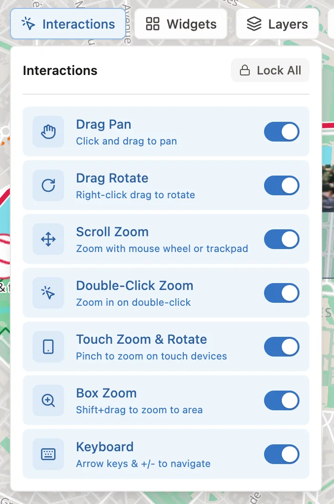
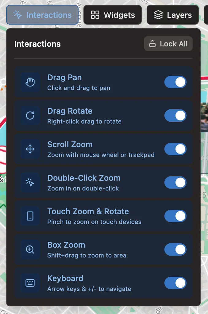
| Interaction | What it lets visitors do |
|---|---|
| Drag Pan | Click and drag to move the map |
| Drag Rotate | Right-click and drag to rotate and tilt the map |
| Scroll Zoom | Zoom with the mouse wheel or trackpad |
| Double-Click Zoom | Zoom in by double-clicking |
| Touch Zoom & Rotate | Pinch to zoom and rotate on touch screens |
| Box Zoom | Hold Shift and drag a box to zoom to it |
| Keyboard | Move and zoom with the arrow keys and + and − |
All seven are on for a new map. Lock All turns them all off, so visitors can't drag, scroll, pinch or use the keyboard to move the map; widgets such as the zoom buttons and compass still work unless you hide them too. When everything is off, the button reads Unlock All and turns them back on.
For a map embedded in a long page, turning off Scroll Zoom stops the map from catching the scroll wheel as visitors scroll past it. They can still zoom with the zoom buttons or by pinching.
Widgets
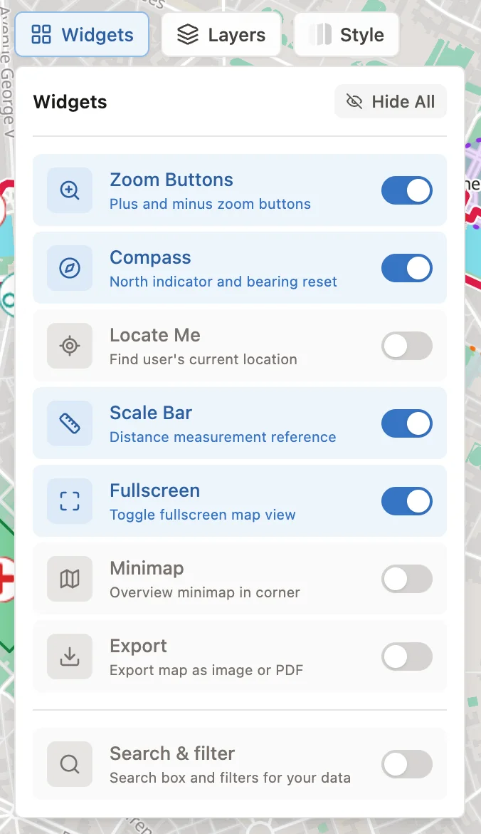
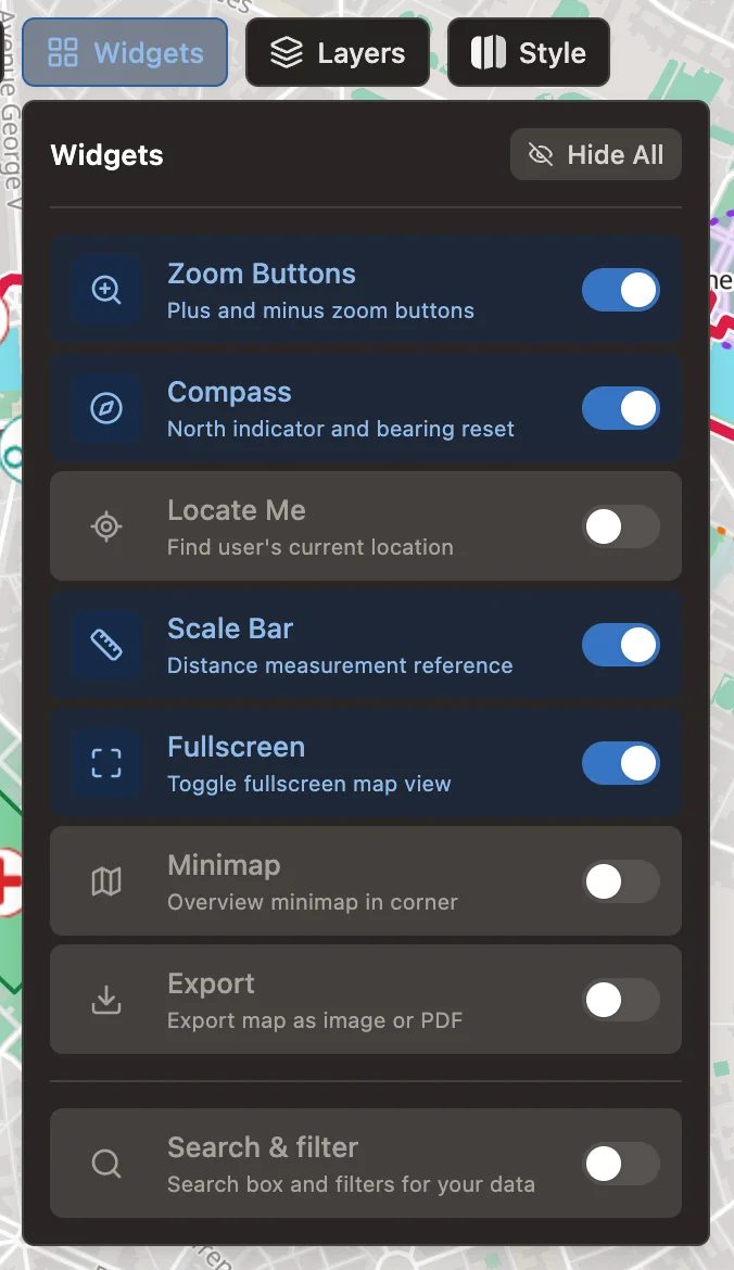
| Widget | What it shows | On for a new map |
|---|---|---|
| Zoom Buttons | Plus and minus buttons, top right | Yes |
| Compass | A north arrow, top right. Select it to turn the map back to north up. | Yes |
| Locate Me | A button that shows the visitor's own location on the map, after they allow it | No |
| Scale Bar | A distance scale in a lower corner | Yes |
| Fullscreen | A button that expands the map to fill the screen | No |
| Minimap | A small overview map in the corner, which visitors can minimize | No |
| Export | A button that downloads the current view as an image or PDF | No |
| Search & filter | A search box and filters over your data — see Search and filters | No |
Hide All turns every widget off; when all are off, the button reads Show All and restores the ones that are on for a new map. Neither changes Search & filter, which has its own switch.
The map's credits are not a widget: the ⓘ button that shows them is always in the corner.
Export
With Export on, visitors can download the map as an image or a document. They choose:
| Option | Choices |
|---|---|
| Format | PNG, JPEG, PDF or SVG |
| Page Size | Letter, A2 to A6, or B2 to B6 |
| Page Orientation | Landscape or Portrait |
| DPI | 72, 96, 200, 300 or 400 |
The export redraws the current view — the same center, zoom, rotation and tilt — at the page size and resolution chosen, and adds a north arrow and the map's credits. It starts at A4, landscape, PDF and 300 DPI.
Locate Me inside an embed
Locate Me needs permission to read the visitor's location. The embed code from Map settings → Embed already includes the permission the frame needs; if you write your own iframe, keep allow="geolocation" on it. See Embedding a map.